After I finished writing about my Grahams in the 1940 Census yesterday, I looked at some maps of the enumeration district. Here are some photographs I put together from Google maps showing what the area looks like now and what streets were included in their enumeration district. My cousin Barbara and I visited the area in 2004 and it looked just like this.
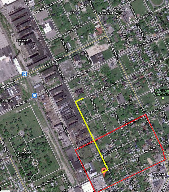 The Enumeration District is outlined in red. My grandparents house is the “A”. The yellow line traces the route to the elementary school.
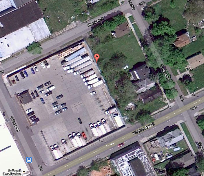 An ariel view from google of my grandparents block. Their house was located where the “A” is. There used to be an alley but it is now overgrown as they don’t maintain alleys in Detroit any more. The Jordan house and the Graham house shared the enclosed space. There was another alley next to the Jordan house which is included inside the fence.
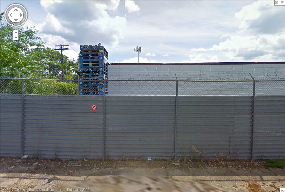 The site of my grandparents house. Now a storage area.
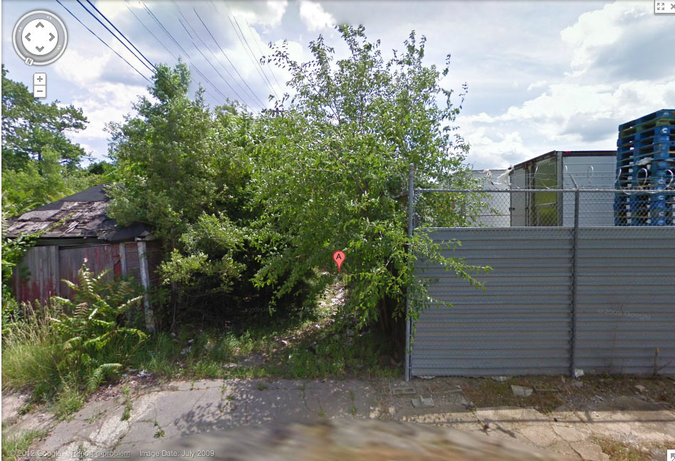 Unmaintained side alley next to the house site.
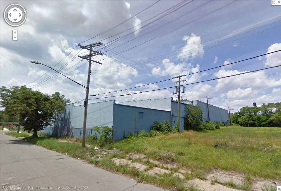 The factory across the street from my grandparents house.
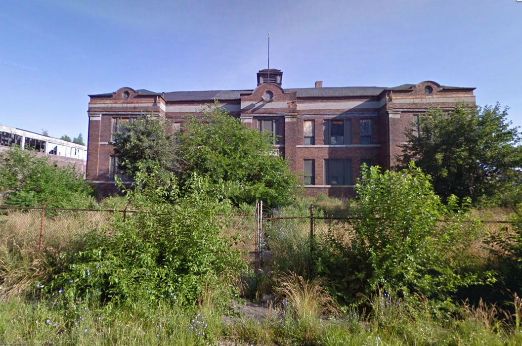 Thomas Elementary school. The school my mother and her siblings attended. Now deserted and burned.
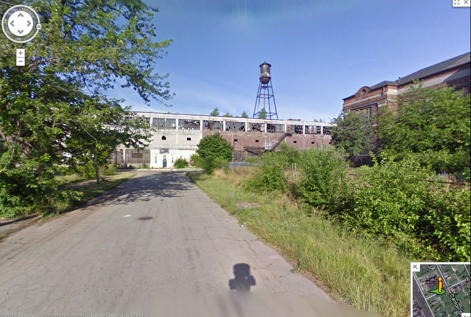 Looking down the street from elementary school toward the ruined Packard plant. My Uncle Mershell was hit and killed by a truck on the way back to school with his older sister, Mary Vee after lunch. I think she always felt she was somehow responsible.