Several days ago Cassmob’s of Family history across the seas blog had an interactive map of places she’s been writing about in Papua, New Guinea. I immediately went to Google Maps to figure out how to do it myself. Below is a map of places my family lived during the 1940 Census in Detroit. If you click on the blue markers it will tell you who lived there and how they are related to my grandparents.
View 1940 Detroit, Michigan – Where we lived in a larger map
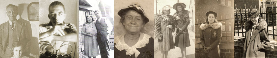
Detroit is divided by Woodward Avenue into Westside and Eastside. My Cleages are all clustered close on the Westside, which is also where I grew up. The Grahams are more spread out on the Eastside. Plymouth had a vibrant youth group program in the 1930 and that is where my parents met. The old Plymouth Congregational Church was urban renewed in the late 1970s and moved location but in 1940 it was located at Garfield and Beaubien, right in the middle of what is now the Detroit Medical Center.
There is a way to insert pop up photographs too which I am going to figure out next.
Discover more from Finding Eliza
Subscribe to get the latest posts sent to your email.
Awesome! One day I hope to make my research as interesting.
Ellen, I just spent this morning reading other family history blogs and got even more good ideas!
That is a great map. Scotten is there twice. Elkins are far on the eastside for those times.
Ben, I just checked and Scotten is only there once but if you don’t click on the far edge of the tab to the left of it, you will get the Scotten information again. Click the edge and it is actually my great uncle Henry’s place on Boxwood. The same seems to be true of the other clustered tabs, you have to click way on the edge to get the real one. You can also go to the big map and they are all listed on the side. They were all living so close together. And, yes the Elkins were way out there on the eastside.
Kris,
Congratulations on your utilization of that new feature, mapping the locations of the residences. You are so good at this stuff. It appears to me that it is time for the first volume of the “book” to be created. Where are we on that?
Cuz’ Peg
I am feeling that the 1940 census signals a place where a book could end – starting in 1860 and moving to 1940. Where to go with that idea is the question. Right now I’m still working my way through all the branches in 1940. and thinking.
keep on…. keepin on!!
nice work! you do keep it interesting!
gem!
hi Kirstin, this map turned out great didn’t it?. It’s a fantastic way to show where everyone lived, which to me looked quite close though the Cleages are more clustered. What a great idea to add photos…I look forward to seeing it! You should have lots of great material for your book, and yes, I guess 1940 would be a good time to close Book 1, or the end of WW2.
BTW I’ve added the reading suggestions on my blog re Australia. It will be interesting to see what the other Aussie geneabloggers add to my list -and what I’ve forgotten. Pauleen
Now I have so many maps in my mind – all the places I lived in Detroit, cities we lived in, cities the family lived in and on and on.
I’ll go look at the list. Thank you!
Kristin,
You really got me going on this one. I’ve tried to experiment with this a little bit, too. http://ohioriverways.blogspot.com/2012/03/east-end-residences.html In that post, I used google Earth and tried to map “paths” between the locations where my family moved. I knew you could do pop up pictures (I googled it), but never got that far. Now I’m thinking I should have used google maps and not google Earth. I’m going to follow your progress on adding pictures. Don’t we just love what we learn to do from each other?
Going around reading and learning from other blogs is one of my favorite things. That and figuring out how to do it and using it. going to look at yours.